

Proposed Civic Center Square, Plan of Chicago
Daniel Hudson Burnham, 1909
| Artist | Daniel Hudson Burnham, American, 1846-1912 Edward Herbert Bennett, American, born England, 1874-1954 |
|---|---|
| Medium | Ink on paper |
| Size | 89 × 163.7 cm (35 × 64 1/2 in.) |
| Origin | Chicago |
| Type | Architectural Drawing |
| Museum | Art Institute of Chicago · museum page |
| Rights | Public domain (CC0): free to download, print and hang. |
The original is 65 × 35 in. Will it fit your wall? →
More by Daniel Hudson Burnham
All Daniel Hudson Burnham → Plate 110 from The Plan of Chicago, 1909: Chicago. Plan of the Complete System of Street Circulation; Railway Stations; Parks, Boulevard Circuits and Radial Arteries; Public Recreation Piers, Yacht Harbor, and Pleasure-Boat Piers; Treatment of Grant Park; the Main Axis and the Civic Center, Presenting the City as a Complete Organism in which All its Functions are Related One to Another in such a Manner that it will Become a Unit1909
 Plate 129 from The Plan of Chicago, 1909: Chicago. The Business Center of the City, Within the First Circuit Boulevard, Showing the Proposed Grand East-and-West Axis and Its Relation to Grant Park and the Yacht Harbor; the Railway Terminals Schemes on the South and West Sides, and the Civic Center1909
 Plan of Chicago, Chicago, Illinois, Diagram Showing City Growth1909
 Plan of Chicago, Plate 63, Plan of a Proposed Park1909
 Plate 125 from The Plan of Chicago, 1909: Chicago. Elevation of Grant Park and Harbor; the Eastern Facade of the City on Michigan Avenue, and the Dome of the Administration Building of the Civic Center, Looking from Lake Michigan.1909
 Plan of Chicago, Plate 62, Plan of a Proposed Park1909
 Plan of the Center of the City, the 1909 Plan of Chicago1909
 Plate 49 from Plan of Chicago 1909: Chicago. View of the City from Jackson Park to Grant Park, Looking Towards the West. The proposed shore treatment as a park enclosing a waterway (or a series of lagoons) is shown, together with the enlarged yacht harbor, recreation piers, and a scheme for Grant Park.1907
More city
All city → A City ParkWilliam Merritt Chase
 Houses of Parliament, LondonClaude Monet
 The Place du Havre, ParisCamille Pissarro
 The Bewitched MillFranz Marc
 Acrobats at the Cirque Fernando (Francisca and Angelina Wartenberg)Pierre-Auguste Renoir
 Rip Van WinkleJohn Quidor
 The Church of Santa Maria della Salute, VeniceMichele Giovanni Marieschi
 The MovingsLouis-Léopold Boilly
Art prints in the shop
All prints →Framed and unframed prints from US makers, shipped from US stock. Not this work unless the listing names it.
 Made in the USA
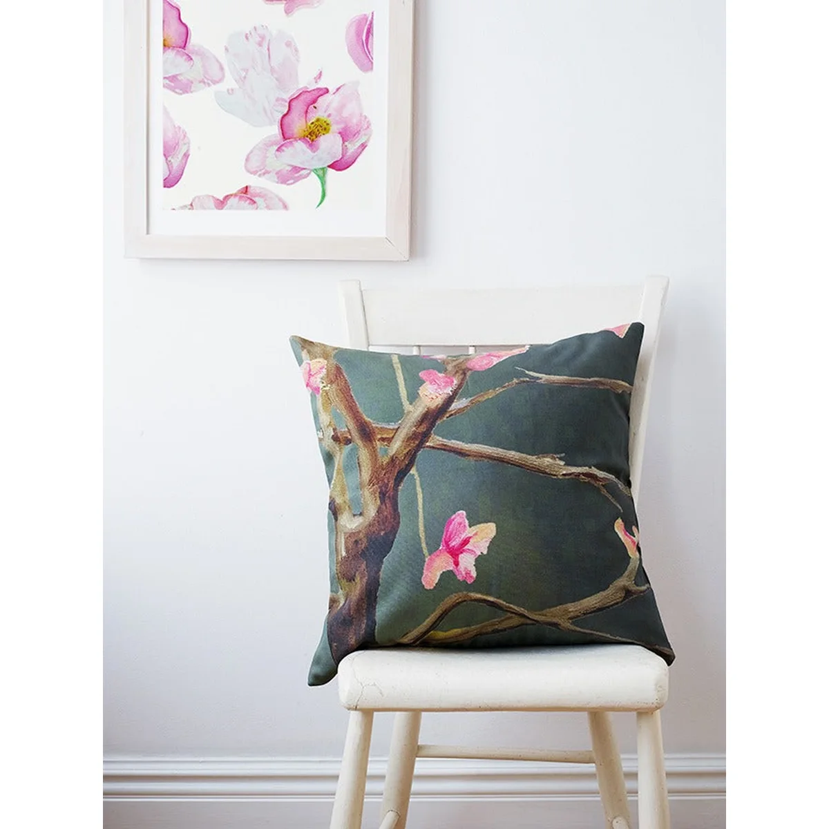
Wall · Art prints and posters
Watercolor Dog Rose Signed Art Print
Signed watercolor florals with a white border for framing
Ships in 2 days · arrives in 3–7
 Made in the USA

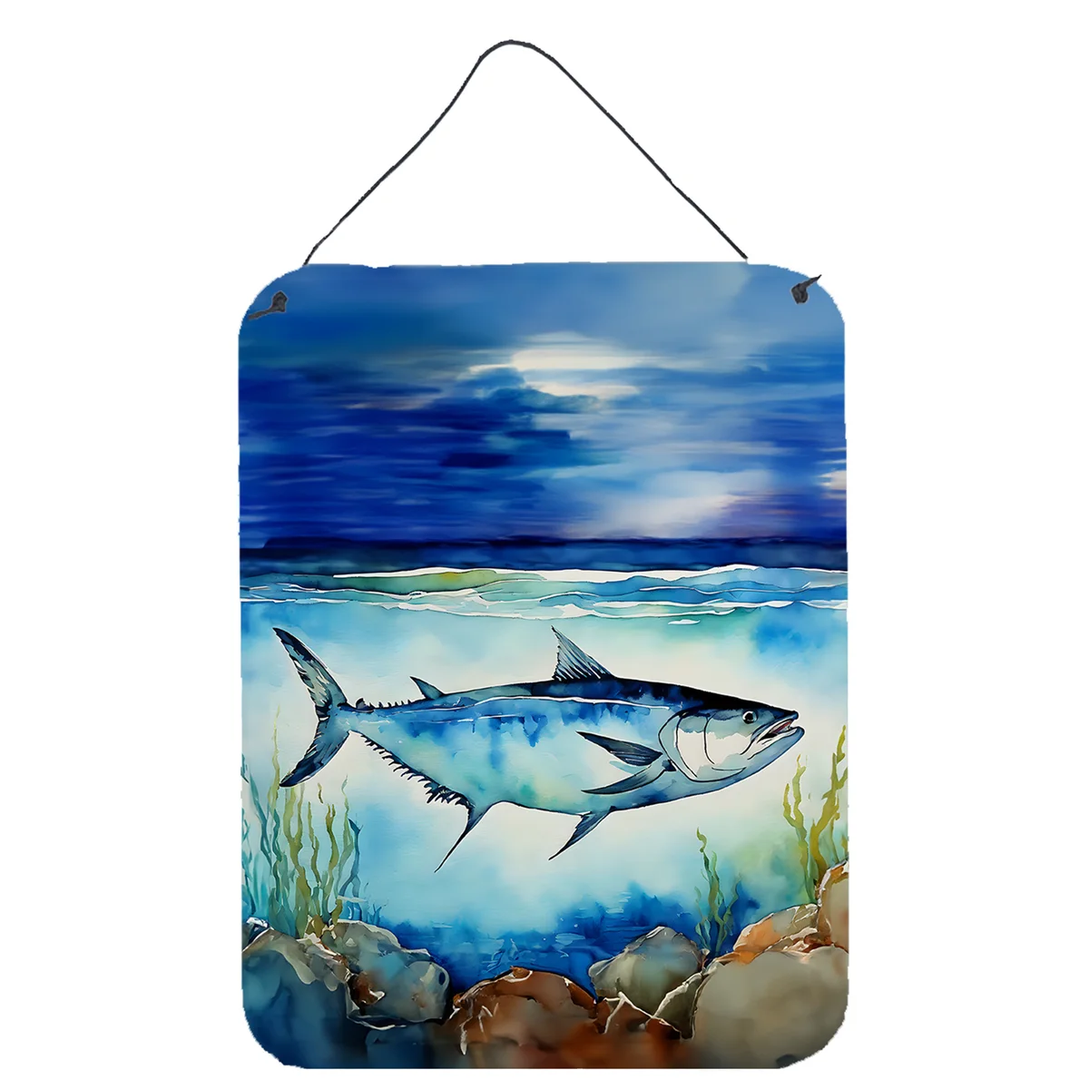
Wall · Art prints and posters
Nautical Wall Print Aluminum Artwork
Rust-resistant aluminum art for indoor or outdoor walls
Ships in 2 days · arrives in 3–7
 Made in the USA
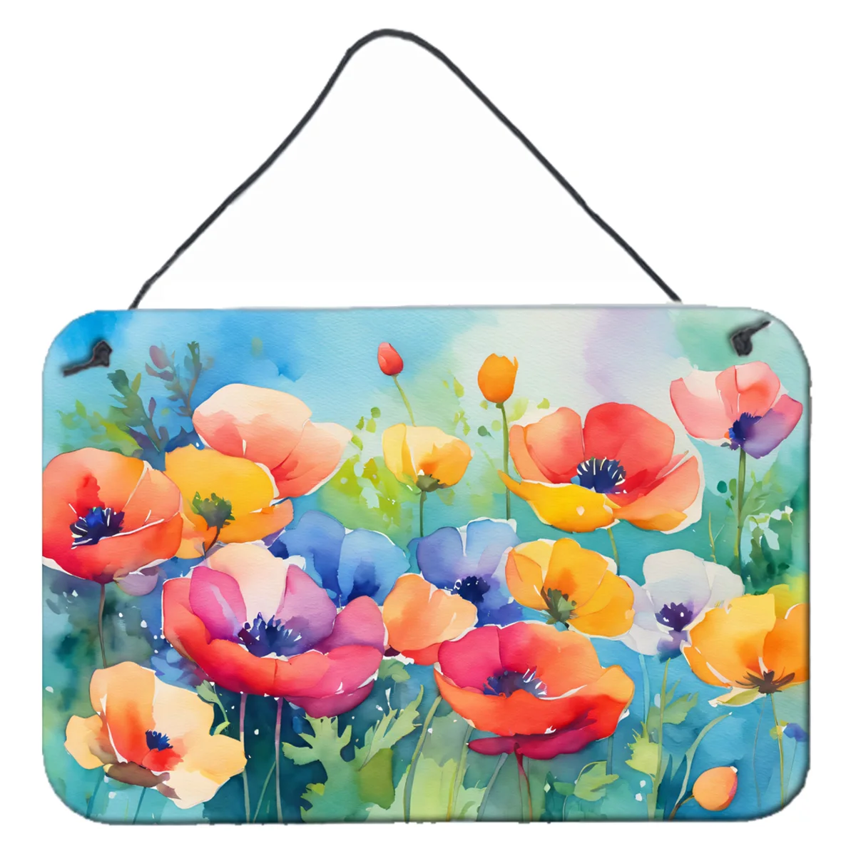
Wall · Art prints and posters
Watercolor Flower Aluminum Wall Print
Rust and fade-resistant floral art for indoors or outdoors
Ships in 2 days · arrives in 3–7
 Made in the USA

Wall · Art prints and posters
Autumn Leaves Aluminum Breed Wall Print
Durable aluminum breed art for indoor or outdoor walls
Ships in 2 days · arrives in 3–7
Image, title, dates, medium and the note are the Art Institute of Chicago's own records, released under CC0; nothing on this page is written by us beyond the links.